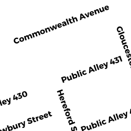
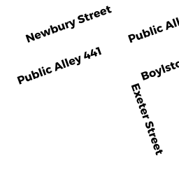
306 NEWBURY ST
Owner Information
CHRISTO WILLIAM TRST ETAL
PO BOX 170473
BOSTON, MA 02117


Property Details
306 NEWBURY ST is classified as a Mixed Use (Primarily Commercial, some Residential) (Apt 4-6 units).
The primary structure on this property was built in 1899. There are 7,456ft2 of built area within this property. There is 7,456ft2 of residential/living space within this property.
306 NEWBURY ST is valued at $2,983,900. The land is valued at $2,358,600 and the structures are valued at $624,100. There is an additional valuation of $1,200 on this property.
306 NEWBURY ST was last sold on Thursday, January 1, 1987 for $0.
Assessment data from fiscal year 2020.
Flood Data
According to the FEMA National Flood Hazard Layer, this property does not appear to be in a flood zone. It may also be in an area not yet reviewed. Nonetheless, confirm this information prior to taking any action.
To view the flood hazards around this property, create a FEMA "Firmette" Map of the area around 306 NEWBURY ST.
Broadband Internet Providers
| Provider | Type | Bandwidth (mbps) | |
|---|---|---|---|
| Crown Castle Fiber | Fiber | 0 | 0 |
| T-Mobile | Fixed Wireless | 25 | 3 |
| Viasat Inc | Satellite | 100 | 3 |
| Comcast | Cable | 1000 | 35 |
| Starry, Inc. | Fixed Wireless | 200 | 200 |
| Verizon New England Inc. | DSL | 15 | 1 |
| Verizon New England Inc. | Fiber | 940 | 880 |
| netBlazr Inc | Fixed Wireless | 50 | 50 |
| VSAT Systems, LLC. | Satellite | 2 | 1 |
| HughesNet | Satellite | 25 | 3 |
| GCI Communication Corp. | Satellite | 0 | 0 |
Broadband service provider data from December 2020.
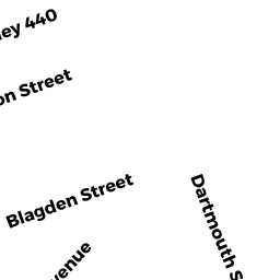
Adjacent Properties
- 308 NEWBURY ST
Apartments with More than Eight Units owned by CHRISTO WILLIAM TRSTS - 304 NEWBURY ST
Other, Open Space owned by THREE-04 NEWBURY ST PRIMARY - 304 NEWBURY ST RESIDENTAL
Residential Condominium owned by THREE- 04 NEWBURY STREET - 304 NEWBURY ST COMMERCL
IMPUTED - Commercial owned by LINEAR RETAIL BOSTON #10 LLC MASS LLC - 35
IMPUTED - Commercial owned by LINEAR RETAIL BOSTON #10 LLC MASS LLC - 304 NEWBURY ST PS-#3
IMPUTED - Residential owned by THREE- 04 NEWBURY STREET